From volume 114, winter 2016-17
Alongside many weather monitoring networks and avalanche specific weather monitoring activities CAA members are aware of is a lesser known provincial snow monitoring program. We caught up the current snow survey program coordinator Tony Litke to ask what the program is about and how it can benefit avalanche professionals.
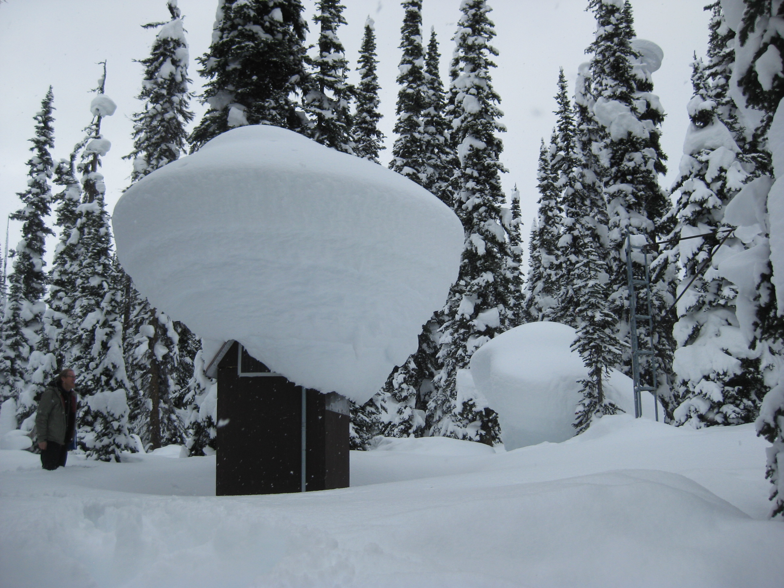
PHOTO: TONY LITKE
TAJ: What is the British Columbia Snow Survey Program (SSP) and how did it come to be?
LITKE: The BC Snow Survey Program was established in 1935 in response to a prolonged drought to monitor snowpacks in BC, and is one of the longest running environmental monitoring programs in the province. It has largely been a cooperative program with federal, provincial and local governments contributing in different capacities over the 80+ years that formal snow surveying has been occurring in BC. Today the major agencies involved are the Ministry of Environment, Ministry of Forests, Lands and Natural Resource Operations and BC Hydro. The program also receives monitoring assistance from some local governments and a few private sector companies.
TAJ: So in a nutshell, what is snow surveying?
LITKE: A snow survey is extremely simple in its nature: a surveyor travels to a site and inserts a specifically designed long aluminum pipe into the snowpack at five to 10 set locations. The pipes are weighed and the average snow depth and snow water equivalent (SWE) recorded. This is performed on predetermined schedules one to eight times per year. Traditionally this data is then correlated to downstream rivers to model and predict water flows and assist with water management.
TAJ: Where are the SSP monitoring sites?
LITKE: Manual snow courses and automated snow weather stations are usually at higher elevation locations, typically between 1,000m and 2,300m. They're found around the entire province from the northern Rockies to the coast to the Kootenays to the Okanagan and everywhere in between. Often they are strategically positioned to correspond with specific drainages and watersheds.
TAJ: How has technology changed the snow survey program?
LITKE: The advent of computers, weather monitoring instrumentation and satellite telemetry has slowly but drastically changed the way we survey snow, starting in 1969 when the first snow pillow and automated data collection platform was installed at Mission Creek near Kelowna. Despite the early start, widespread automation of manual snow survey sites really didn’t really gather momentum until the mid-90s and has been ongoing ever since. Nowadays most automated sites measure and report temperature, cumulative precipitation, snow depth and snow water equivalent on hourly intervals, 24 hours a day, 365 days a year. The most recent development has been the emergence of snow scales as a viable alternative to fluid filled snow pillows, which has made construction and deployment of new
sites far less cumbersome.
TAJ: What are some problems involved with trying to keep track of how much snow there is across BC?
LITKE: Where to begin! I always tell people snow surveys are the hardest simple thing you will ever do. First of all, as we all know snow packs can be extremely variable over very small geographic areas. With manual surveys, human and site specific factors greatly influence the results, and these are extremely hard to control for. Given the remote location of most of the sites you never know what you are going to get until you get there. When it comes to the automated weather stations, lightning, wildfires, snow creep, falling trees, critters, bears and vandalism all conspire to push stations off the air. It’s definitely more challenging than maintaining a weather plot in a resort or roadside setting, because due to their far flung locations we can’t easily visit the sites to see what is going on and often only get to visit them a couple times a year. Thankfully, as time has progressed monitoring technology and reliability have greatly improved to the point where the electronics typically operate problem free.
TAJ: Can you give us a snapshot of the program today?
LITKE: After a few years hiatus there has been a push in recent years to continue to automate manual snow courses resulting in the construction of six new automated snow weather stations this past summer. That brings the total number of automated sites to 76 across the province, in addition to manual snow surveys happening at 158 active sites. This season over one million discrete snow measurements will be recorded across the SSP.
TAJ: How can CAA Members use make use of the SSP data?
LITKE: All the data the snow survey program produces is publicly available, including the historical archives dating back to 1935, and ongoing hourly near-real-time data. Some of the sites are already replicating data into the InfoEx or various other enthusiast-maintained websites. The snow survey program is in the process of creating a new map-based platform to share data that should hopefully go live in early 2017. In the meantime the data is available through the river forecast centers webpage in tabular format at bcrfc.env.gov.bc.ca/data/index.htm.
The snow weather stations all broadcast hourly data, so it is useful for any sort of weather reconnaissance you might need, from determining how a weather system moved through a mountain range to whether or not there is some fresh powder at your favorite touring haunt. We receive all sorts of enquiries from around the world, from power traders in the states betting on the markets that depend on water supply, to the strangest call I remember which was an RCMP detachment looking to find out whether it snowed in a certain area on the day a robbery occurred to aid an investigation. In summer time people are often interested in when the snow has disappeared so they can decide if it is mountain biking season. One advantage of the snow survey program weather station data is that it is year-round, so when the ski hills and backcountry lodges stop updating their websites and submitting to InfoEx, our data keeps rolling in.
TAJ: What does a typical day for you look like?
LITKE: A typical day...is there such a thing? It really depends on the time of year and what is going on. Normally the first thing I do on any given day is take a look at all of the snow weather stations to check that everything is functioning correctly. We aim to visit each site a minimum of twice a year, so a lot of planning and effort goes into those logistics. In the summer once the snow is gone we do all our repair work and any new installations, so depending on the year there might only be a few snow-free months to accomplish a lot of work.
In the winter we like to stop in and make sure everything is functioning like we expect based on what we see on site. I also receive a lot of emails everyday, so I spend a good chunk of my time in the office working with the more than two dozen different cooperating groups that operationally help us deliver the program. My favorite days are the ones in the winter where it’s snowing heavily, time slows down a bit, and everything just seems to be quiet and serene on site. One thing is for sure, every day is different, and every day has a new challenge.
TAJ: Why has this been one of the longest running monitoring programs and how is the data being used for decision making?
LITKE: Water supply forecasting is the primary driver for the program and the impacts range from public safety to economics. From power generation forecasting, flood forecasting, drought monitoring or irrigation planning, decision makers need to know how much snow is in the mountains because it will eventually become water in our lakes and rivers. The more information, and the more accurate the information is, the better the decision making will be. This has been important for decades and will continue to be, which explains why the program has had such a long and healthy life. Of course climate change is another big driver and being able to keep tabs on what is going on in remote mountainous regions over the long term will become more and more important on the horizon There is not yet technology on the horizon that is immediately able to take over in-situ weather monitoring, so it is likely the snow survey program will still be around for some time.


