From volume 78, winter 2005-06
By Greg Johnson and Karl Klassen

PHOTO: CHRIS CHRISTIE
The new Avaluator will soon be on the market. The prototypes for this tool show great promise as an effective solution to a complex problem, and have garnered critical acclaim from risk specialists. However, to apply the trip-planner effectively, the user depends on two important factors: an avalanche danger rating and an avalanche terrain exposure scale (ATES) rating. The first is a well-established system, and a current danger rating can be found for most places in western Canada frequented by winter backcountry users. The ATES system, developed by Grant Statham and Bruce McMahon of Parks Canada, is newer and to date has been implemented almost exclusively within the National Mountain Parks.
The ATES is a three-level scale that rates terrain as simple, challenging, or complex. These ratings give backcountry users an idea of the risk that is presented by terrain prone to avalanches. In preparation for the Avaluator’s public launch this winter, project manager Pascal Haegeli contracted us to rate popular ski trips beyond national parks boundaries. In addition to this not insignificant challenge, the contract included doing something that had never been done before: developing ATES ratings for snowmobile trips.
The process of assessing ATES ratings requires using the scale’s technical version. The development of this scale is discussed in an excellent article written by Grant and Bruce for the Fall 2004 issue (vol. 70) of Avalanche News. You can also find the ATES technical version on the Parks Canada webpage by entering “avalanche terrain exposure scale” in the keyword search. The technical version employs 11 weighted terrain factors for use by trained professionals to generate ratings that remain consistent from one area to the next and from one assessor to the next.
Karl, who is busy building a house in Revelstoke, landed the easier side of the job—rating the ski trips. Greg, who had only to deal with buying and moving into a new house and planning his own late-August wedding, took on the more complex task of adapting the ATES for sledding trips and rating some popular riding areas. Figuring out how the ATES would work for sledding applications was tough at first, but once that hurdle was overcome, this portion of the project turned out to be fun.
Clearly, rating all ski and sled trips in Canada is a gargantuan task requiring more time and resources than the ADFAR project can muster at this point in its development. Our goal was to first identify general areas where skiers, boarders, and sledders can be regularly found in the backcountry. We decided on these areas based on personal and professional knowledge of the backcountry, our experience as CAC avalanche forecasters, and through dialogue with professional and experienced recreationists in various mountain communities.
We then developed short lists of popular trips commonly traveled by recreationists in these areas. This was done by soliciting opinions from local professional and recreational users. Once we had these trips listed, we looked at our timelines and budgets, and then prioritized the trips to ensure we would geta representative cross-section of trips and tours throughout the Columbia, Coast, and Rocky mountains.
At this point we were ready to begin establishing ATES ratings, thus allowing practical use of the Avaluator in BC and Alberta when it is launched in the fall. Our paths diverged somewhat at this point: Karl sub-contracted people in various areas to carry out further work on ski-touring trips while Greg went into the field to look at snowmobiling terrain and develop the database for sledding trips.
Rating snowmobile trips proved to be a different process than rating ski trips. Sledders differ from skiers due to the nature of the machine, how the users select their terrain, and how much area they cover. Many snowmobile trips also have a groomed or well-established trail in the valley bottom, leading to a cabin or common start point for the day.
These access trails to cabins or common start points were given an overall rating. Then sub-areas were identified, where sledders branch off from the main trail. These sub-areas, generally defined by major terrain features, were then given an overall rating which might differ from the rating given to the access trail. This scheme allows people to assess risk for relatively simple trail riding separately from the risks associated with the subareas, which often include narrower side valleys, higher elevations, or more exposed terrain.
Developing the data for both skiing and sledding included reviewing the trip lists for each region with locals, obtaining basic geographic data (map sheet information, UTM coordinates, access points, etc.) and, of course, assessing an ATES rating for each trip. Clearly not every ski and snowmobile trip was included in this project. We attempted to get trips that are representative of the most-used areas of BC and Alberta but are very aware that much remains to be done. Over time, it is hoped that all trips everywhere will be rated and that resources, such as guidebooks, will include ATES ratings for trips they describe. This way, the ATES ratings will eventually come into general use by recreational backcountry users.
The ATES ratings work done to date will make the Avaluator a useful tool for backcountry recreationists in the coming season. As the task of rating trips continues in the future, the Avaluator will become increasingly effective for more users in more places.
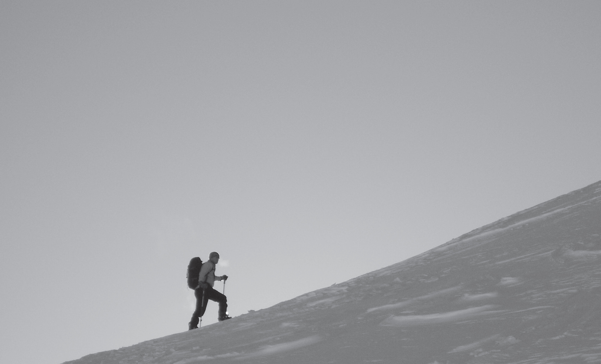
PHOTO: GRANT STATHAM
HOW DID PARKS CANADA DO IT?
The Avalanche Terrain Exposure Scale originated in Parks Canada. Grant Statham, Parks Canada’s Avalanche Risk Specialist, came up with the concept and together with Bruce McMahon, Senior Avalanche Technician at Rogers Pass, they steered the project through numerous consultations. The actual process of rating terrain began in August 2004.
By November of that year 275 ski touring trips in the mountain parks had been rated and the information published. The next summer waterfall climbing was tackled. By November 2005, 75 ice climbs in the national parks had been rated and published. Grant Statham is quick to point out the obvious advantages his team had in rating terrain in the parks.
“To start with,” he explains, “we have an amazing base of knowledge to draw from. We have numerous mountain guides in every park, some of whom have been there for decades. People like Gord Irwin, Marc Ledwidge, Brad White, they know every avalanche path in Banff Park. And there are people like them in every mountain park. It made the terrain discussions so much easier than what the CAC is going through now. Really, there is no substitute for local expertise.”


